Vincel Trail

Le chemin de Courchon et ses magnifiques points de vue sur le lac de Sainte-Croix

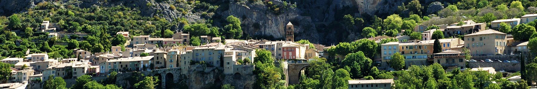
From the Riou’s fortified gate, climb up to the plateau of Vénascle to discover the heights of Moustiers ! 


Crédit photos : ©OTMoustiers

From the center of the village, take La Clappe street and go through the fortified gate. You will follow the direction of “hameau de Vincel”.

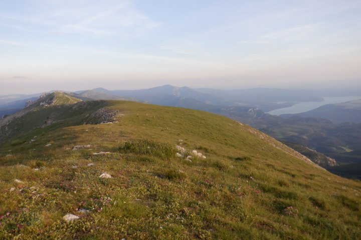
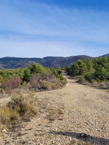
The the climb through the undergrowth will take you to the plateau. Still follow Vincel direction and the yellow signposting until you find a road (near the Montdenier campsite).

Take the direction of the “hameau de Vénascle” on the road, you will walk around 1 km there. You can quit the road to follow “Pierrefeu” direction mark.

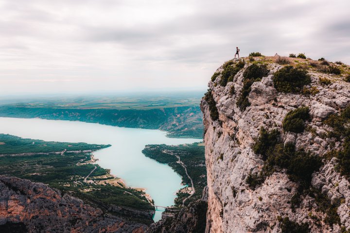
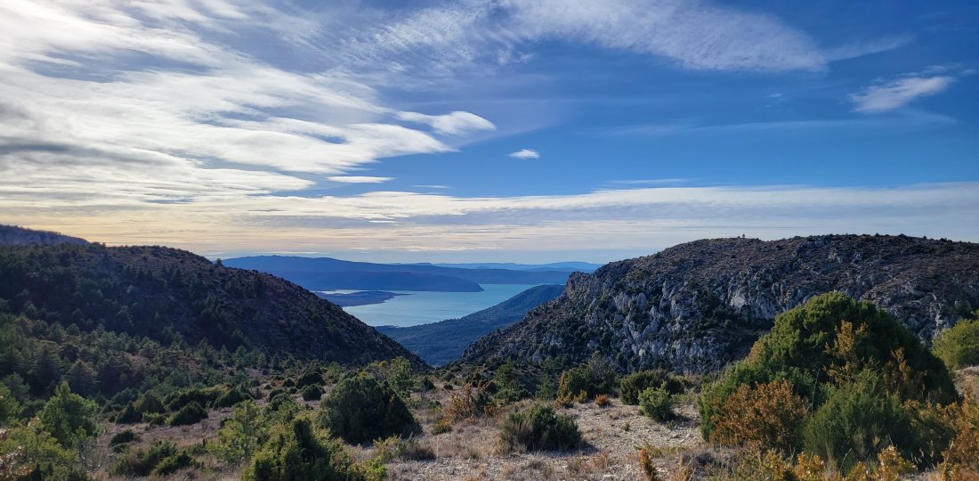
The path will take you to the “Chemin de Courchon”, the next step until you join Moustiers. There’s a dozen of turns with very beautiful points of view on the lake and the village.

To know more : 

Application Chemins des Parcs
 

Download the Chemins des Parcs mobile application to discover the others walks in the Verdon area ! There's also the bike and mountain bike paths. 

You came across a signposting error, a faulty signpost, a tree in your path or a pollution problem? Don't hesitate to report it on the Suricate website or app!


Vous aimerez aussi...

Plein Voir

A fairly modest but sporty hike offering an extraordinary view of the end of the Grand Canyon and Lake Sainte-Croix !

Plein Voir
Depuis le sommet du Montdenier, perspective sur la crète du massif et lac de Sainte-Croix

L’Agra & le Montdenier

A rich itinerary to discover in particular: the summit of Montdenier, culminating at 1751 m, and that of Agra, 200 m lower, offering an extraordinary 360 ° view !

L’Agra & le Montdenier