Tour of the wild Verdon and the Grand Canyon - E - Difficult ↔ 95 km, 6h30

Tour du Verdon sauvage et du Grand Canyon - E - Difficile - ↔ 95 km, 6h30
Tour du Verdon sauvage et du Grand Canyon - E - Difficile - ↔ 95 km, 6h30 (profil altimétrique)
Traces GPX - Provence Alpes à Vélo (Vélo route et Gravel)
Un itinéraire gravel très coloré en période de floraison de la lavande !
04360
Moustiers-Sainte-Marie

[Unmarked route from Moustiers-Sainte-Marie - Clockwise]
Profile:
Distance: ↔ 95 km
Altitude: D+ ↑ 1860 m
Length: 6h30

Detailed description

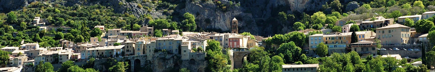
Starting from Mézel, a long loop on the border between the Alps and Provence, between the lavender fields of the Asse and the reforestation forests of Montdenier. The mythical D17 (road and passage on track) will lead you to the Sublime Point of the Verdon Gorges!

Crédits photos : ©Jean-Luc ARMAND - ©OT Provence Alpes

Pricing

Free access.

Opening dates

All year round.

Languages

French