Thibaut Vergoz
Thibaut Vergoz
Thibaut Vergoz
‘La TransVerdon’ begins at the source of the Verdon River at the Col d'Allos pass, at an altitude of 2,247 metres. It is a 260-kilometre journey along the Verdon, between lakes and mountains. This comprehensive and technical route is punctuated by well-deserved swimming breaks!
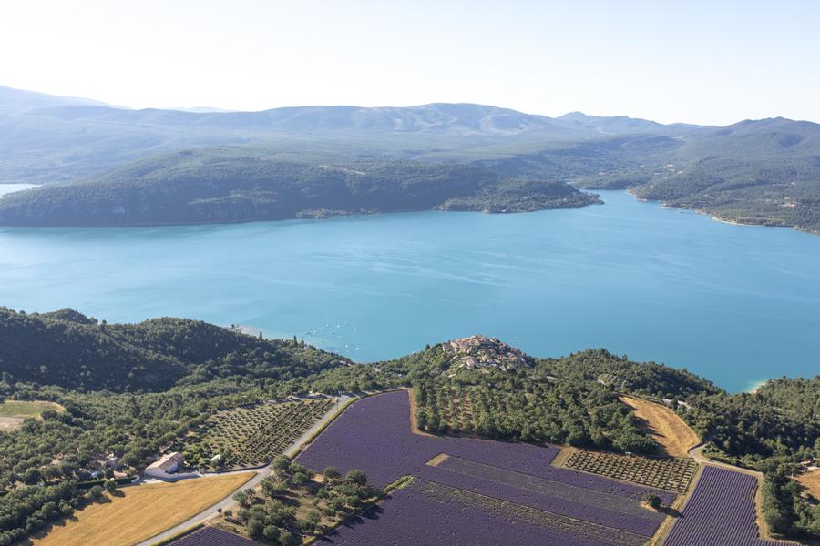
Stage Moustiers Sainte-Marie – Sainte-Croix du Verdon (18 km – 300m elevation gain / 250m elevation loss): From Moustiers Sainte-Marie, the route descends to Lake Sainte-Croix, where you can enjoy a swim before climbing up to the Valensole plateau. Once this final challenge has been overcome, the route continues along tracks through lavender fields to the orientation table overlooking the lake and the village of Sainte Croix du Verdon.
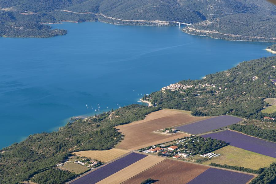
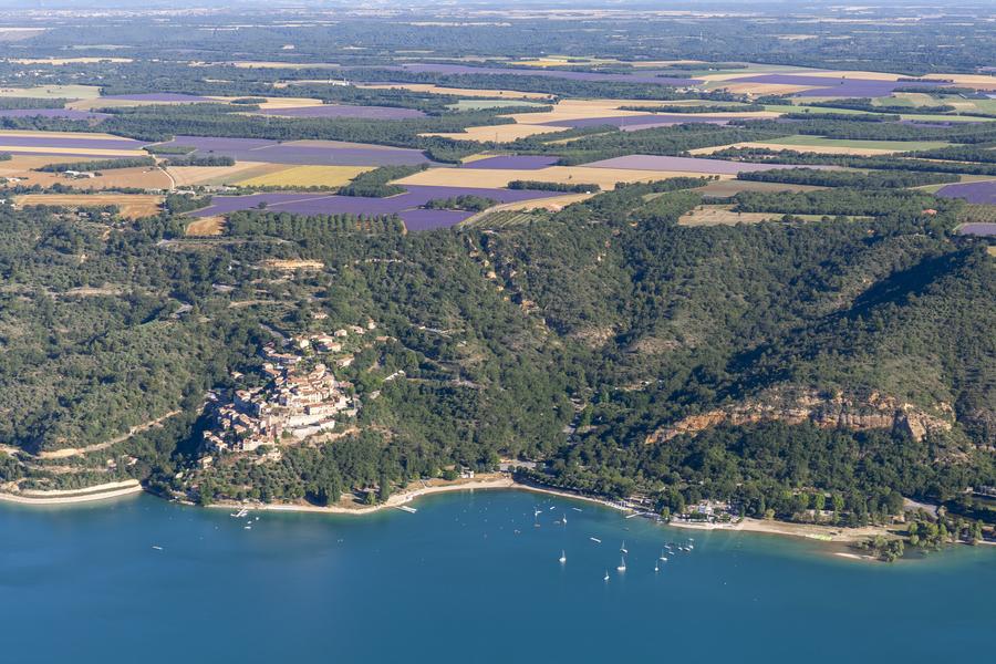
Stage Sainte-Croix du Verdon – Quinson (20 km – 300m elevation gain / 550m elevation loss): The route takes advantage of the altitude gained during the last section to offer a beautiful descent to the mouth of the Beaudinard Gorges, a fantastic and uncrowded place… The route then runs alongside three lakes before crossing the village of Saint Laurent du Verdon and climbing back up to the plateau. One last descent and you reach the charming village of Quinson, home to one of Europe's largest museums dedicated to prehistory.
Rates
Free access.
Practical information
- Car park
Environments
- Forest location
- Mountain location
- Isolated
- Lake view
- Panoramic view