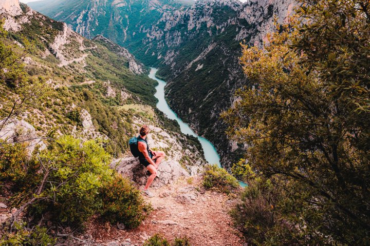
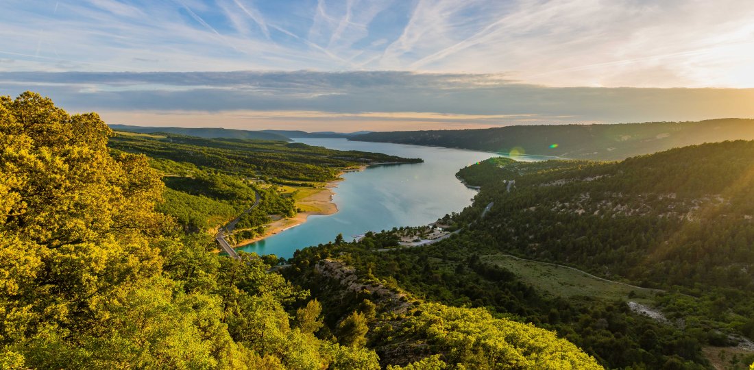
On this great itinerant hike, discover the magnificent scenery around the Verdon's most emblematic lake: Sainte-Croix Lake!
Crédit photos : ©AD04- Teddy Verneuil et ©OTMoustiers
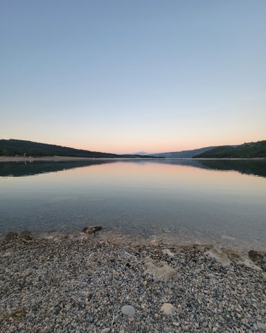
"The tour of the Lac de Sainte-Croix offers a journey over
water and time".
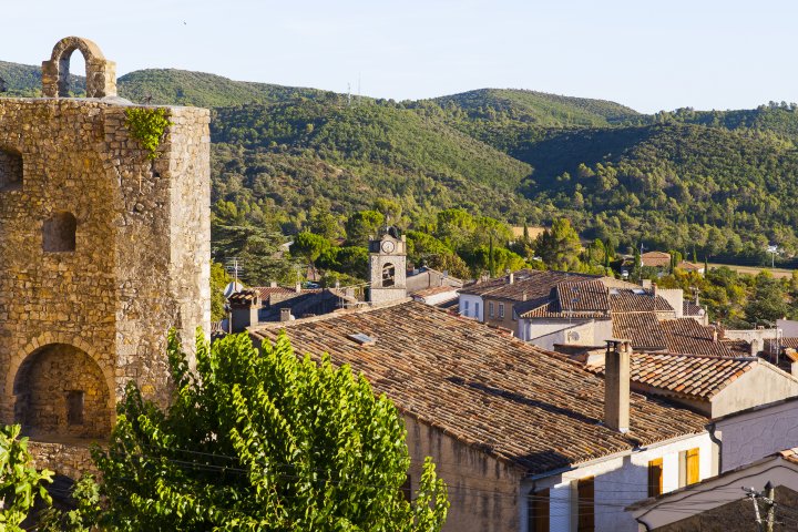
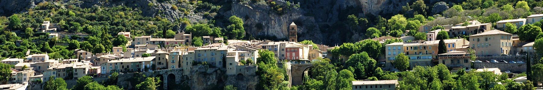
It invites you to feel the spirit of the place as you meet 6 villages whose destiny was turned upside down by the construction of a hydroelectric dam in the 1970s. This transformation of a valley irrigated by the Verdon, and until then suitable for agriculture, gives us food for thought about how the world is changing, particularly in terms of the importance of water resources, which now supply the main population centers of Provence and the Côte d'Azur coastline.
The itinerary follows a loop, with alternating views of
the first Alpine foothills, some of which mark the
gateway to the grand Verdon canyon.
It alternates between hill, gorge and plateau terrain, with little difficulty. This makes it an ideal itinerary for discovering itinerancy on foot. In fine weather, the waters of the lake offer refreshing breaks!
To know more :

Download the Chemins des Parcs mobile application to discover the others walks in the Verdon area ! There's also the bike and mountain bike paths.
You came across a signposting error, a faulty signpost, a tree in your path or a pollution problem? Don't hesitate to report it on the Suricate website or app!