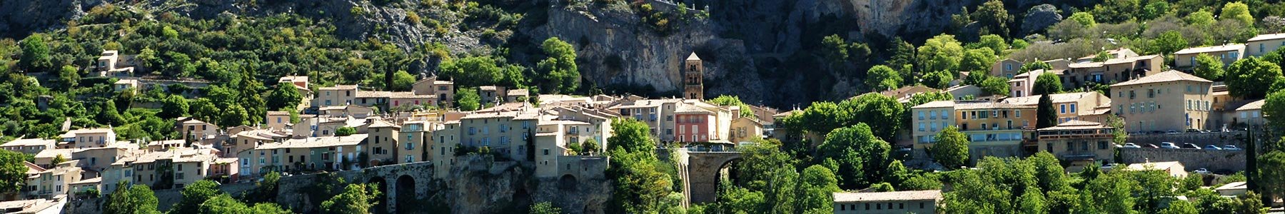
Previous Next Previous Next Parking à l'entrée du village 04360 Moustiers-Sainte-Marie Departing from the capital of earthenware, these forest trails explore the land of ruined villages. These large forests were once pastures and many farms were established on the sunny slopes of this massif. Favoris 04 92 74 67 84 Display the n° Tarifs Services Parking Detailed description Services Equipements : Free car park Car park Pay car park Emplacement View directions on Maps Pricing Free access. Opening dates Languages French