Towards Sainte-Croix lake

Les berges du lac de Sainte-Croix se dessinent après seulement 4 km de marche !

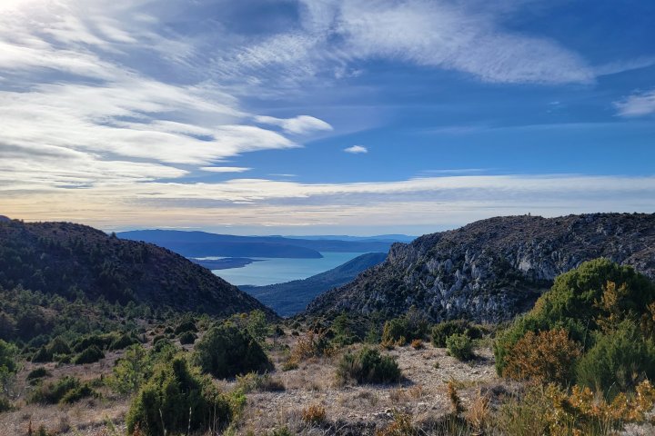
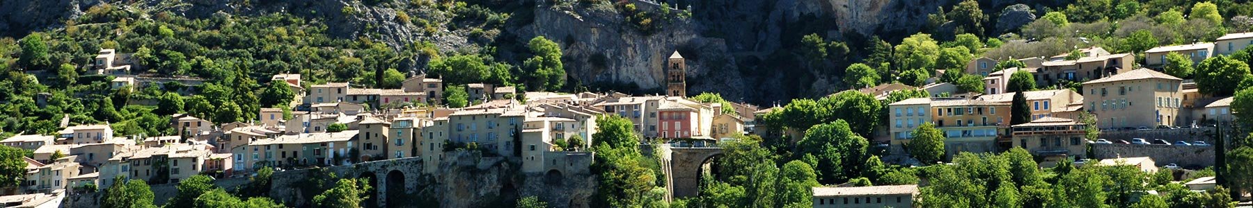
This path goes back and forth between Moustiers and the bridge of Galetas, following the side of the Lake of Sainte-Croix !


L'unes des portions engazonnées entre le chemin de Quinson et le Domaine du Petit Lac

Crédit photo : ©AD04-Teddy Verneuil 

1 km down chemin de Quinson, join the GR®4 portion going towards the lake of Sainte-Croix.

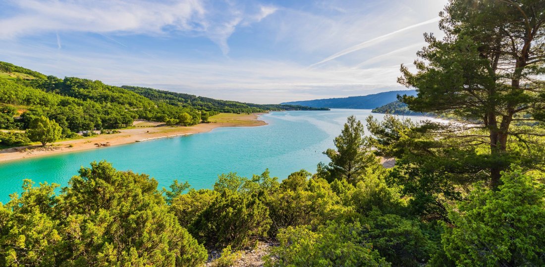
Pass "Peyrengues" and cross the Domaine du Petit Lac campsite to reach « Ferme de Saint-Saturnin » and the banks of the lake, where swimming will be possible. You have been walking for approximatly 5 km at this point.

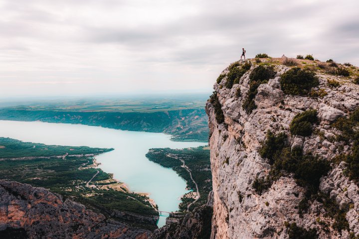
If you want to reach the Galetas bridge and enjoy a great panorama ofn the end of the Canyon, follow the signs for about 2 km.

To come back to Moustiers, take the same way back. You’ve done 7km one way, it will be the same the other way.


To know more : 

Application Chemins des Parcs
 

Download the Chemins des Parcs mobile application to discover the others walks in the Verdon area ! There's also the bike and mountain bike paths. 

You came across a signposting error, a faulty signpost, a tree in your path or a pollution problem? Don't hesitate to report it on the Suricate website or app!


Vous aimerez aussi...

Le chemin de Courchon et ses magnifiques points de vue sur le lac de Sainte-Croix

Vincel Trail

A hiking route of intermediate distance and level of difficulty to discover the "upper floor" of Moustiers: the Vénascle plateau.

Vincel Trail

Plein Voir

A fairly modest but sporty hike offering an extraordinary view of the end of the Grand Canyon and Lake Sainte-Croix !

Plein Voir