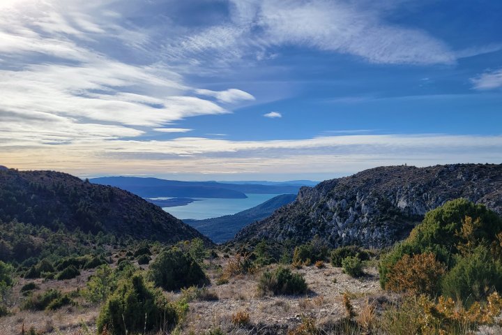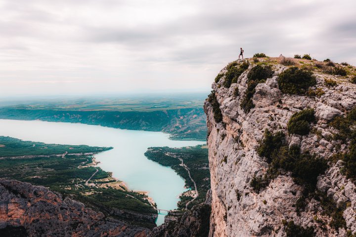
At the bottom of the village, take Chemin de Quinson street in order to go towards the banks Sainte-Croix’s lake or the Galetas bridge with its superb point of view inside the Verdon gorges !
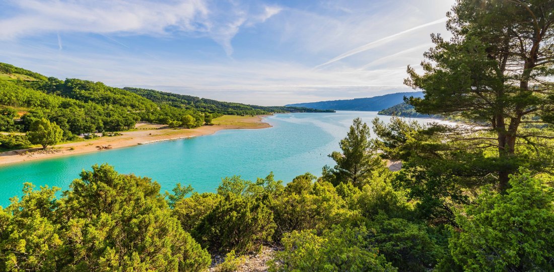
1 km down chemin de Quinson, take the small ford to join the GR®4 portion going towards the lake of Sainte-Croix. Pass « Peyrengues » and cross the Domaine du Petit Lac campsite to reach « Ferme de Saint-Saturnin » and the banks of the lake, where swimming will be possible. You have been walking for approximatly 5 km at this point. If you want to reach the Galetas bridge and enjoy a superb panorama of the end of the Canyon, follow the signs for about 2 km.
⚠️ Warning: to follow this itinerary you will follow both GR® and GRP® marking (GR®P = yellow and red markings). You also will have to multiply the distance and the walking time by two.
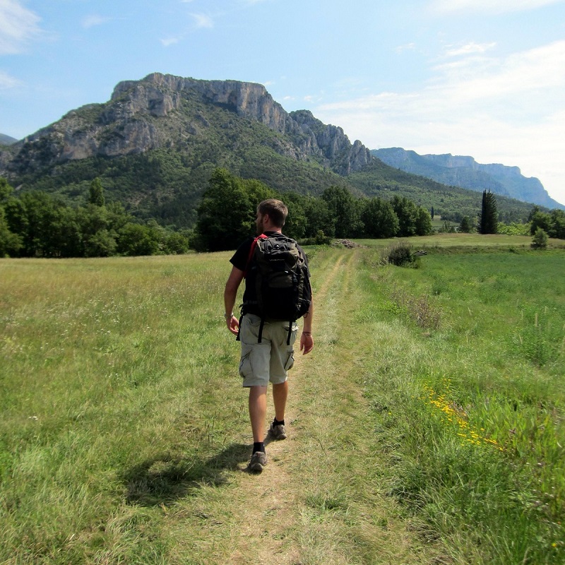
Crédit photo : ©AD04-Teddy Verneuil [photo principale]
To know more ➕...
To add it to your sports watch or GPS device, download the GPX track below.
In order to download the description of this walk for free, go to Chemin des Parcs and Rando Alpes de Haute-Provence websites or apps. If you don't have an connected device, do not hesitate to ask for help at the Tourist Office

If you have a smartphone you can also download the GPX coordinates and rely on the free IGNrando app !
![]()
« A marking error, a damaged sign, a pollution problem, a need for increased safty, a conflict with an landowner or other user... ». → report all possible issues you may encounter during your hikes on Suricate (website & smartphone app).