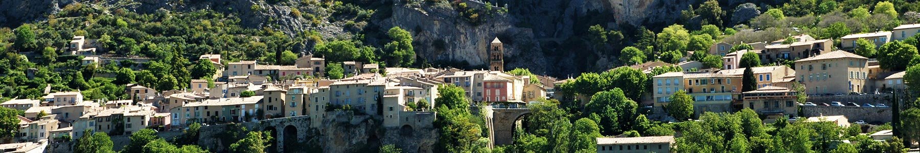
Departure from the center of the village and the Riou bridge. A climb up to the plateau of Vénascle, under the Montdenier massif, and a way down by the magnificent path of Courchon... Vincel trail is an average distance hike with low difficulty : ideal to discover the "high lands" of Moustiers.
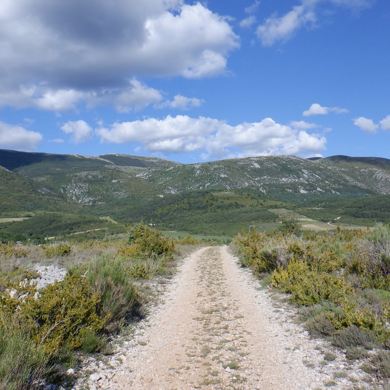
Shortly after crossing the Riou gate, take the direction of the hamlet of Vincel. After about 3 km of ascent in the underwood (most of the altitude difference is here), continue to follow the direction of Vincel and the yellow markings until you reach a road and Montdenier campsite.
Take the direction of the hamlet of Vénascle by staying on the road for about 1km. Leave the road and follow « Pierrefeu », it will lead to the descent to the village.
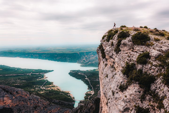
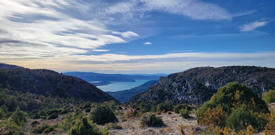
The last portion of the itinerary via « Chemin de Courchon » represents a dozen of bends with astonishing views of the Sainte-Croix lake on one side and on certain parts of the village on the other!
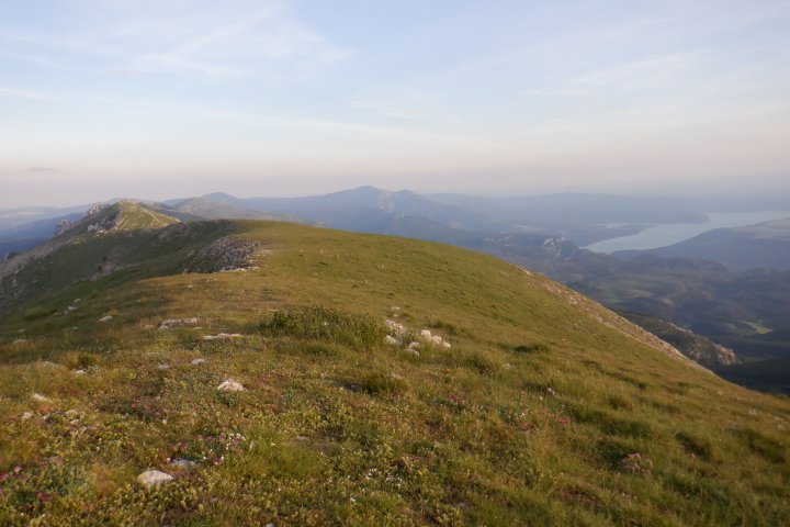
⚠️ Warning : the high lands portions are mostly "open". We strongly advised against doing this itinerary in the middle of the day during the summer season..
To know more ➕...
To add it to your sports watch or GPS device, download the GPX track below.
In order to download the description of this walk for free, go to Chemin des Parcs and Rando Alpes de Haute-Provence websites or apps. If you don't have an connected device, do not hesitate to ask for help at the Tourist Office

If you have a smartphone you can also download the GPX coordinates and rely on the free IGNrando app !
![]()
« A marking error, a damaged sign, a pollution problem, a need for increased safty, a conflict with an landowner or other user... ». → report all possible issues you may encounter during your hikes on Suricate (website & smartphone app)