Discover the Montdenier state forest and the Marignol sheepfold !
Crédit photos : ©OTMoustiers
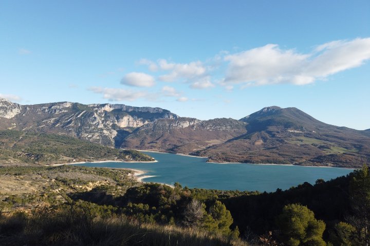
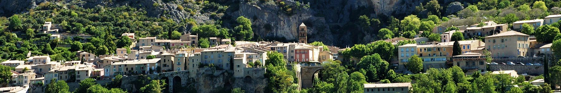
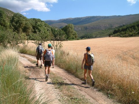
The hike starts in the commune of Moustiers, a 20 minutes drive from the village centre at a place called Naverre (GPS coordinates: 43.871255, 6.240891).
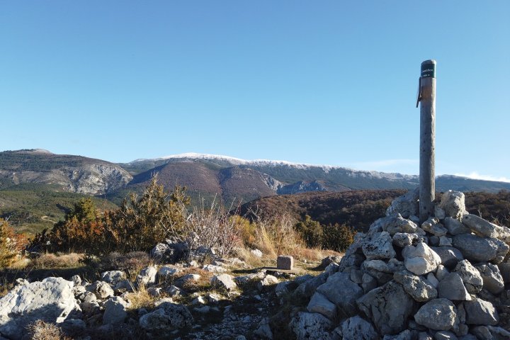
Follow the signs for "Collet de Naverre" along the main, but seldom used, road to the Vénascle plateau. There is a steep climb (300m) before you reach Marignol, below the Montdenier forest road.
Turn right to reach the Marignol sheepfold. This former sheepfold is owned by the ONF (National Forest Organisation) and used as a refuge.
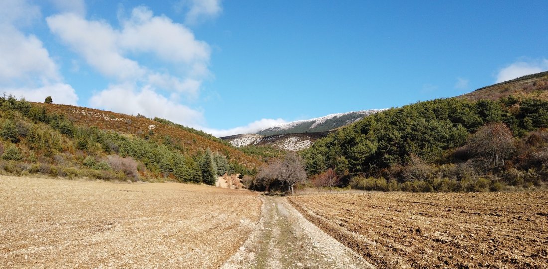
Follow the signs for Vincel to head back downhill. You will arrive at the Montdenier campsite. Continue past the Ferme de Vincel. After the hamlet, take the tarmac road back to your vehicle.
To know more :

Download the Chemins des Parcs mobile application to discover the others walks in the Verdon area ! There's also the bike and mountain bike paths.
You came across a signposting error, a faulty signpost, a tree in your path or a pollution problem? Don't hesitate to report it on the Suricate website or app!
Document(s) :