

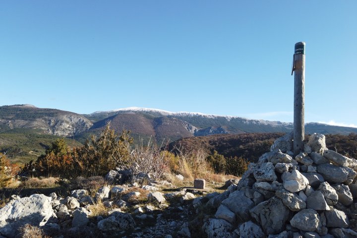
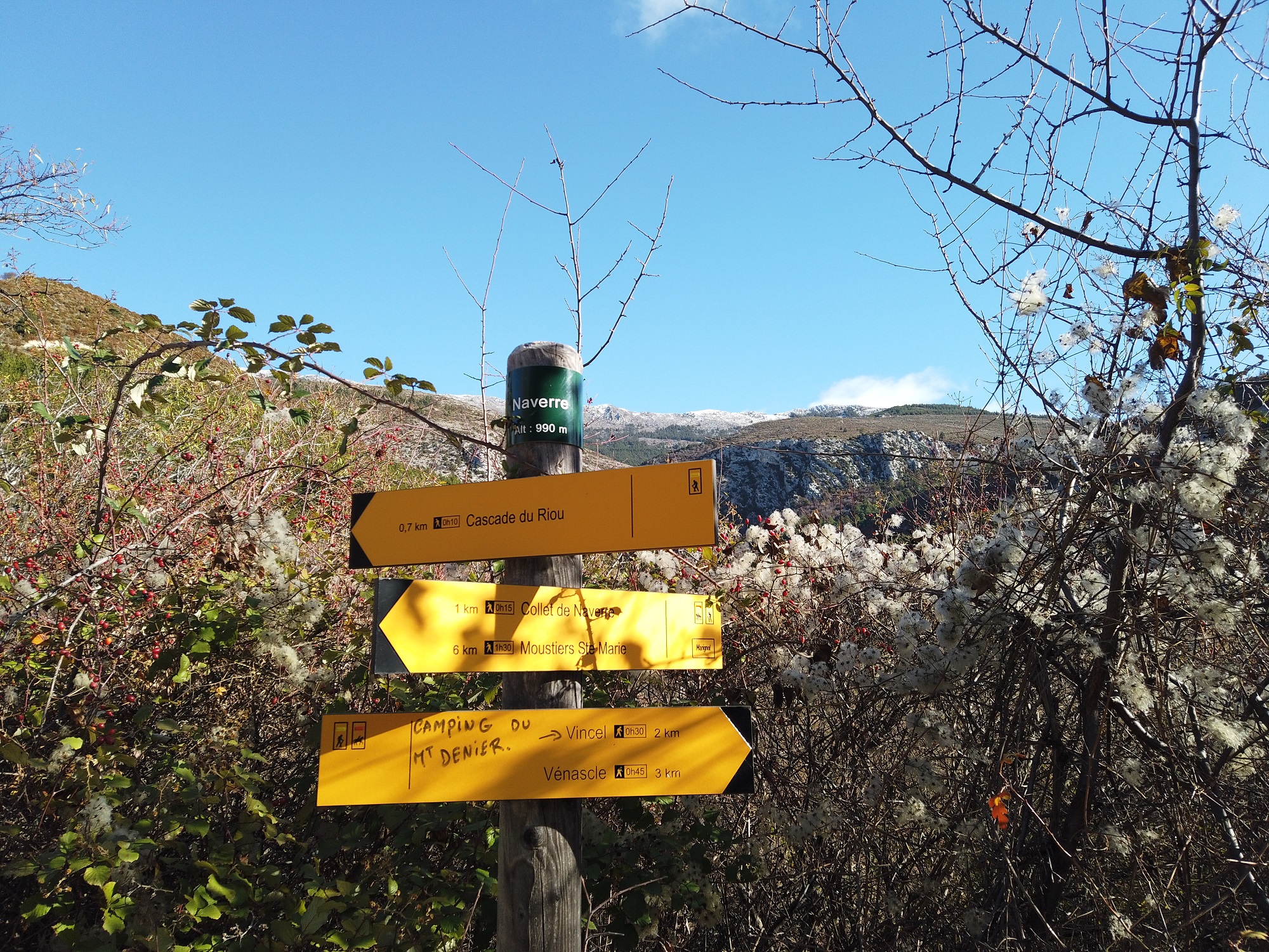
From Naverre, a locality on the heights of Moustiers, discover the vast domanial forest of Montdenier: a natural area not to be missed in our territory with the charming sheepfold of Marignol.
To reach Naverre (GPS coordinates : 43.871255, 6.240891), locality and starting point of this hike: count ~20 mn of drive from our village of Moustiers-Sainte-Marie.
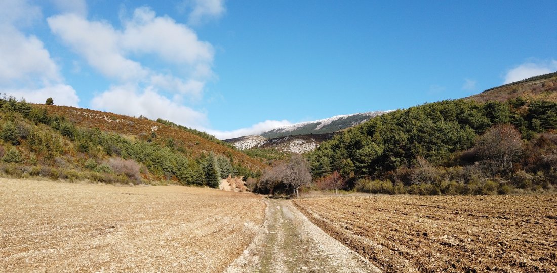
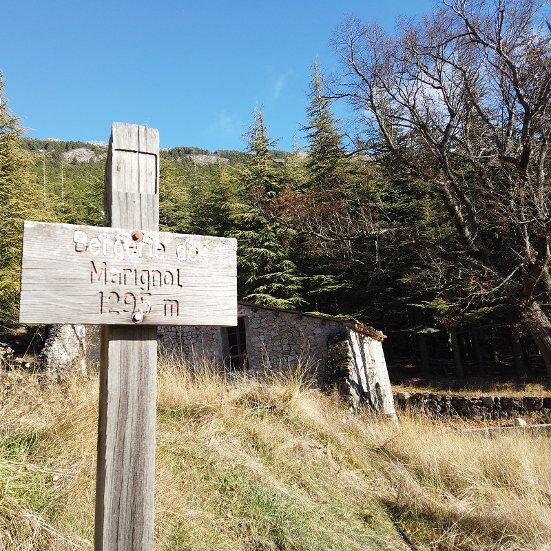
From the marker "Naverre", follow the direction "collet de Naverre" by walking on the rarely used road of the plateau of Vénascle (natural flat located above the village, between 900 and 1000 m of altitude approximately). From this point, a little more than 3 km and 300 m of positive difference in altitude are waiting for you before reaching Marignol on the foothills of the massif (that is to say, almost the entire "climb" of the route!). After turning right, you will reach the Marignol sheepfold some 500 m further on. This (old) sheepfold, property of the ONF (National Forestry Commission), which has been restored and serves as a refuge, is rather "rustic" but can be very useful for hikers in case of a storm on the Montdenier massif...
Then do most of the descent (~3 km) following the direction of "Vincel". Shortly after, you will reach our partner campsite Le Montdenier. To complete the loop, avoid nearly 600 m of road by passing by the "Ferme de Vincel", a small hamlet of our village where our partner Verdon Coutellerie is located; and finish by a tarred portion of a little more than 1 km. Don't worry: the traffic on the Vénascle plateau being (VERY) light, this end of the itinerary on the road will not spoil the pleasure you will have had to follow this beautiful hike!
To know more ➕...
To add it to your sports watch or GPS device, download the GPX track below.
If you do not have a connected device to guide you on the hiking routes,
don't hesitate to ask the Tourist Office team for advice!

Want to be guided by your smartphone?
► Download the GPX track of the route and rely on the free IGNrando app !
![]()
" A marking error, a defective sign, a pollution problem, a need for security, a conflict with a landowner or other practitioners..." →
Suricate (website & smartphone app), report any potential problems you encounter on your hiking routes!