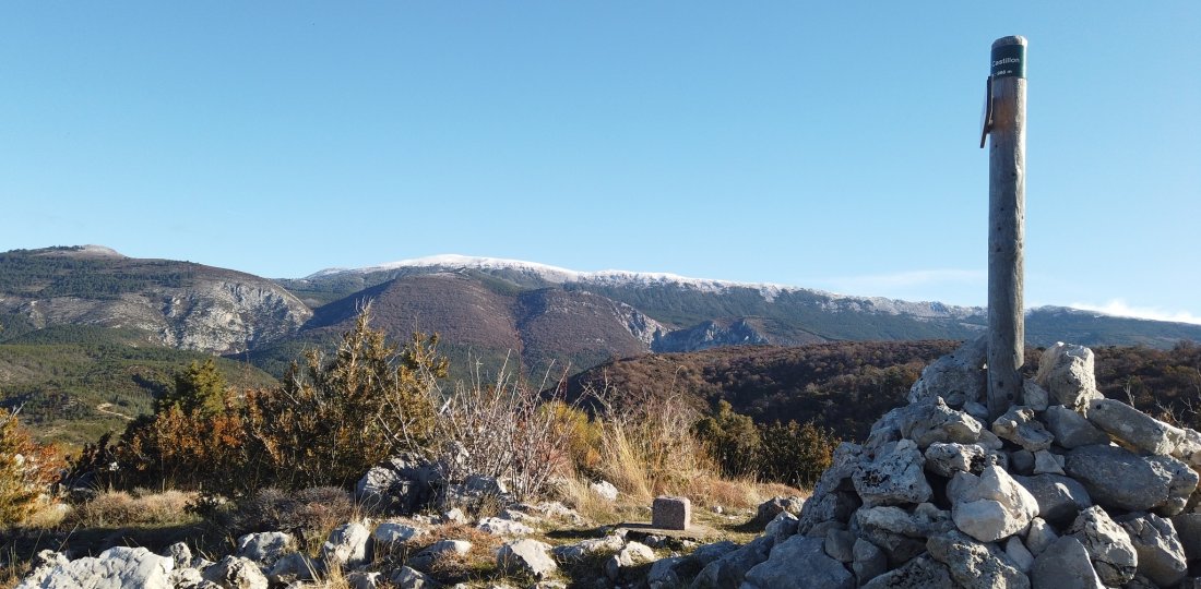
From our Tourist Office, on the Church square of Moustiers, discover the small summit of Castillon and the privileged view that it offers.
From the Church square, go towards Rue de la Clappe and follow the indication "Le Riou". After this beautiful little crossing point follow the direction of "Vincel" for ~700 m. At the marker "L'Automnée", follow the direction "En Naups" + "Le Castillon Castillon par Les Baumes ".
⚠️Warning: on a good portion of the route between L'Automnée and the small hamlet En Naups, small landslides are commonplace... → Beware: it " ravines " very often on this section, especially in case of bad weather the days before !After crossing En Naups, continue on a small country road for just over 200 m, then turn right following the direction of Castillon.
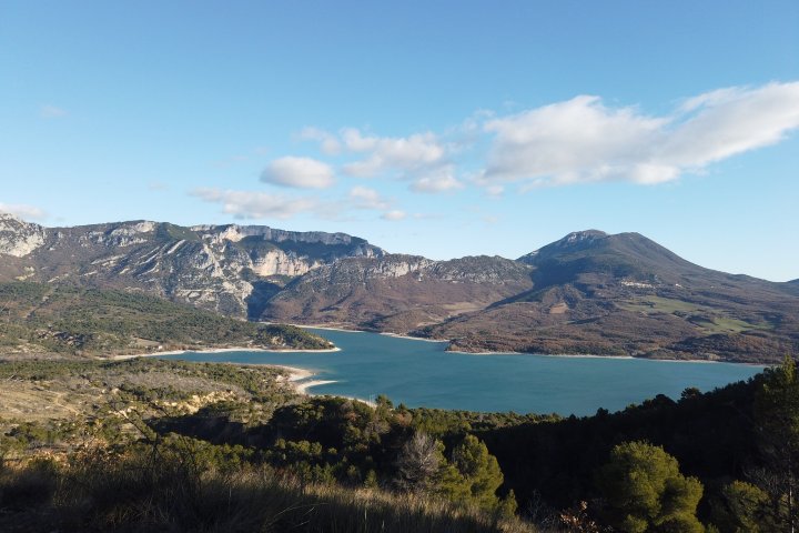
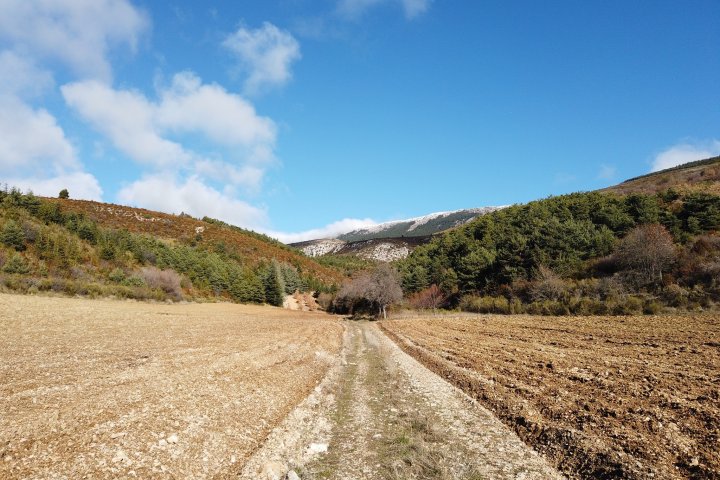
The access to the summit will be made in return on approximately 1 km and will allow you to see in the distance the attractive small village of Saint-Jurs and to observe the splendid panorama offered on one side, the plateau of Valensole, and, on the other, a great part of the massif of Montdenier (its summit & its crest, the Agra, the Pavillon...).
Without proposing a breathtaking viewpoint, as can do the entire Montdenier massif, the Castillon gives, from the "floor below", an almost exhaustive vision of this mountainous group of the Prealps of Digne and its various modest summits!
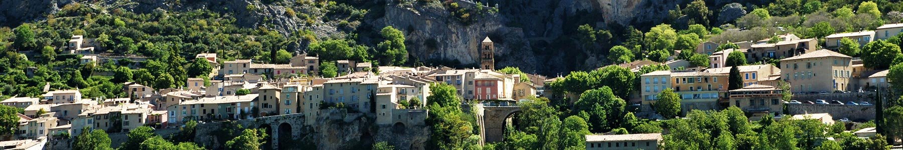
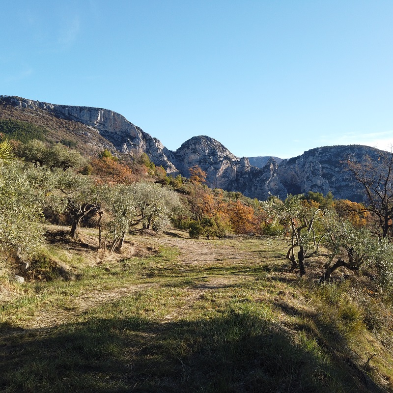
Descent on Moustiers by crossing, successively, the hamlets of Ségriès (where is our partner accommodation the Ferme du Petit Ségriès) and Embourgues. Be careful (⚠️) crossings the D952 twince. In the area of the hamlet of Embourgues, you will cross a plot of the very pretty olive tree plantations. To finish, you will join the avenue Frédéric Mistral via the chemin du Paradou and the small single-track path (making the junction between the two) which will leave on your left.
To know more ➕...
To add it to your sports watch or GPS device, download the GPX track below.
If you do not have a connected device to guide you on the hiking routes,
don't hesitate to ask the Tourist Office team for advice!

Want to be guided by your smartphone?
► Download the GPX track of the route and rely on the free IGNrando app !
![]()
" A marking error, a defective sign, a pollution problem, a need for security, a conflict with a landowner or other practitioners..." →
Suricate (website & smartphone app), report any potential problems you encounter on your hiking routes!