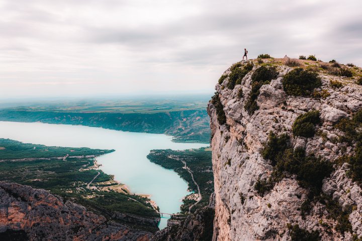
A long "figure eight loop" hike to discover the Pavillon summit, the highest point south of the Montdenier ridge, and its wonderful panorama !
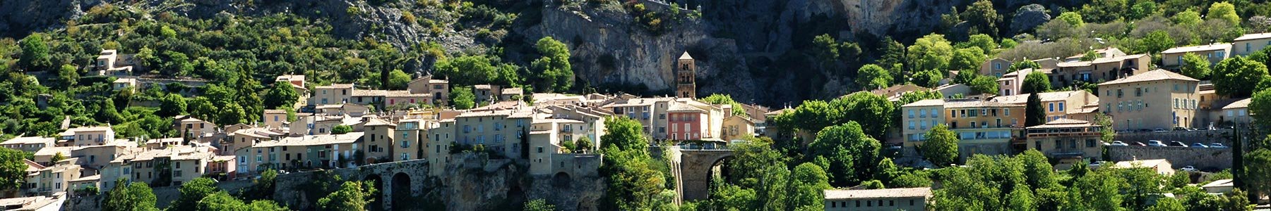
From the Church Square, go up to « rue de la Clappe ». Immediately after crossing the stone bridge of Riou, keep to the right and follow the direction of Vincel until you reached a road next to the Montdenier campsite. Take then the direction of the hamlet of Vénascle by staying on the road for about 1 km.
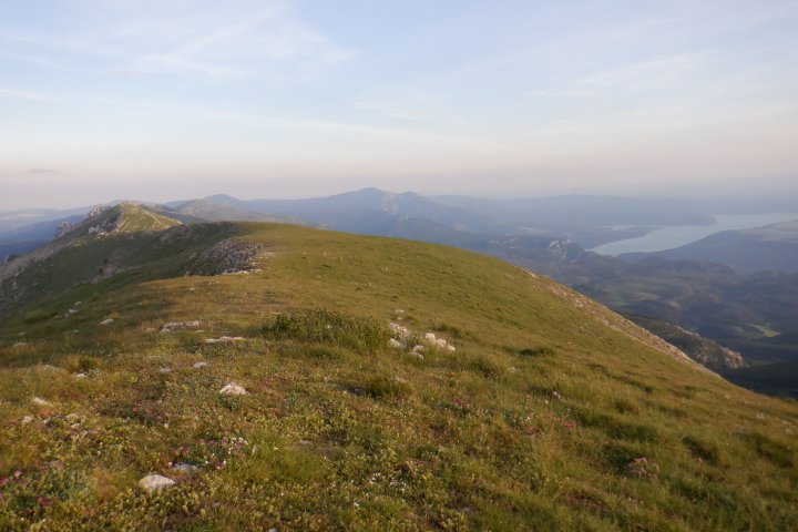
At the Parking des Plaines, follow Le Pavillon indication on your left. Climb up for more than 5 km. When at the crossing of the wide forest track situated at « Baisse de Montdenier », walk 350m to the « Pied du Pavillon » and finish the ascent to reach the Summit of the Pavillon with on a more discrete path with small cairns.
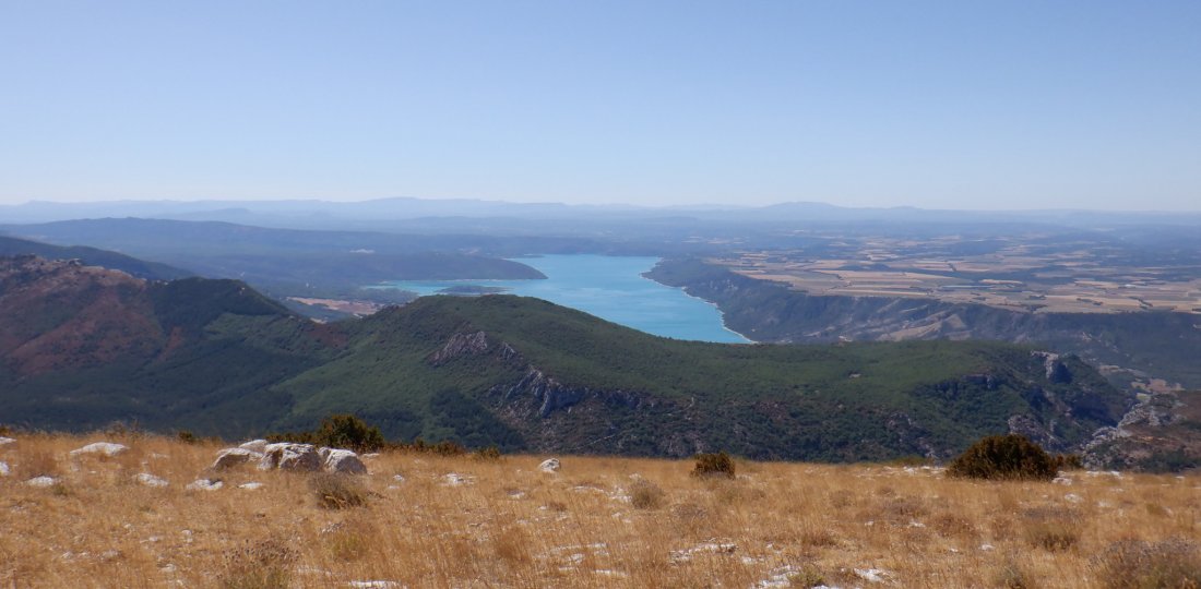
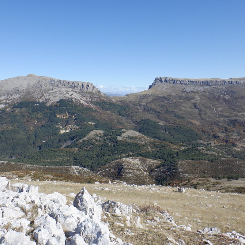
☺ At the highest point of the hike is a marvelous panorama with the lake of Sainte-Croix and the plateau of Valensole on one side, and the mount Chiran and the Mourre de Chanier (highest summit of the Verdon!) on the other.
For the descent, go back to the forest track, continue straight ahead for about 2.5 km. Find the Montdenier campsite after a long descent of about 5 km (with some rather technical portions). Cross the campsite and follow the road again to join the village via « Pierrefeu » and the « Chemin de Courchon ».
+ The short version
→ park at the Parking des Plaines (on the Vénascle plateau) to make the ascent to the summit and back. This "variant" of the hike is about 10 km and 3 to 4 hours of walking.
To know more ➕...
To add it to your sports watch or GPS device, download the GPX track below.
In order to download the description of this walk for free, go to Chemin des Parcs and Rando Alpes de Haute-Provence websites or apps. If you don't have an connected device, do not hesitate to ask for help at the Tourist Office.

If you have a smartphone you can also download the GPX coordinates and rely on the free IGNrando app !
![]()
« A marking error, a damaged sign, a pollution problem, a need for increased safty, a conflict with an landowner or other user... ». → report all possible issues you may encounter during your hikes on Suricate (website & smartphone app)