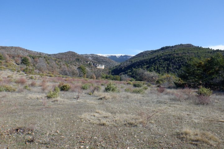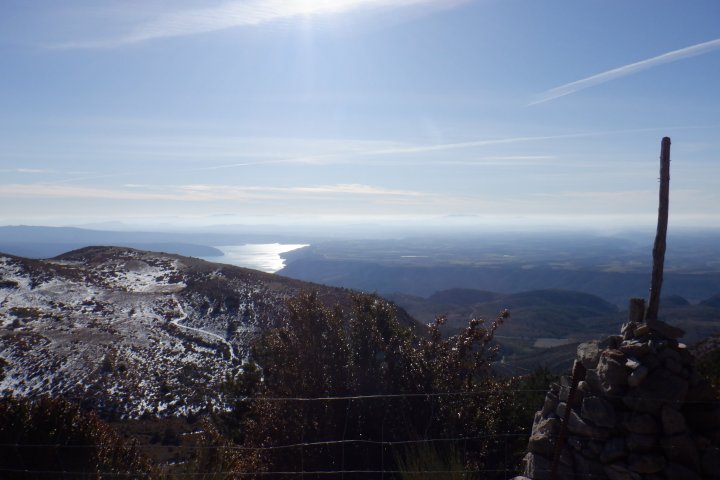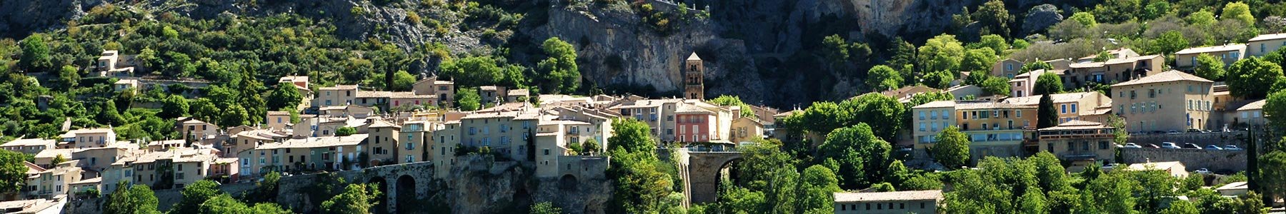
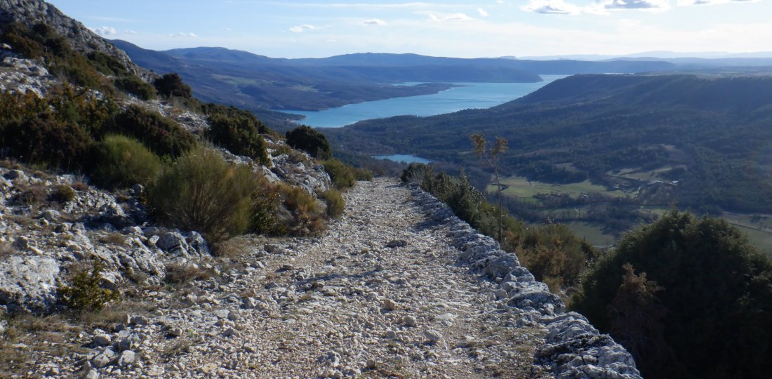
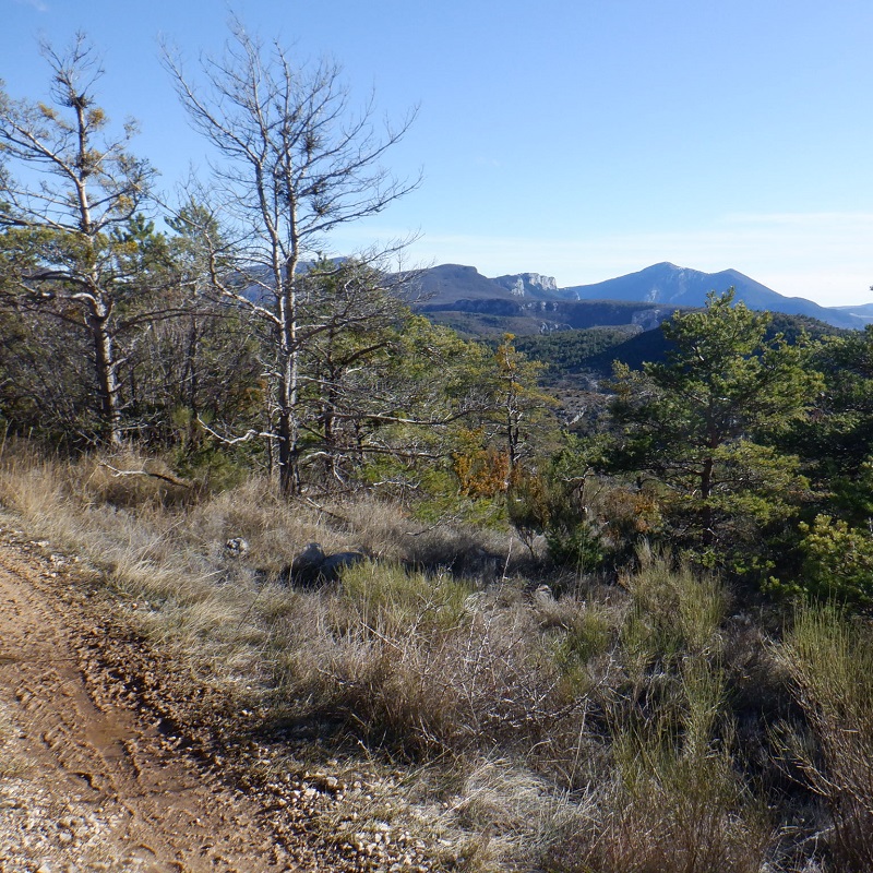
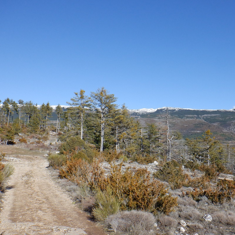
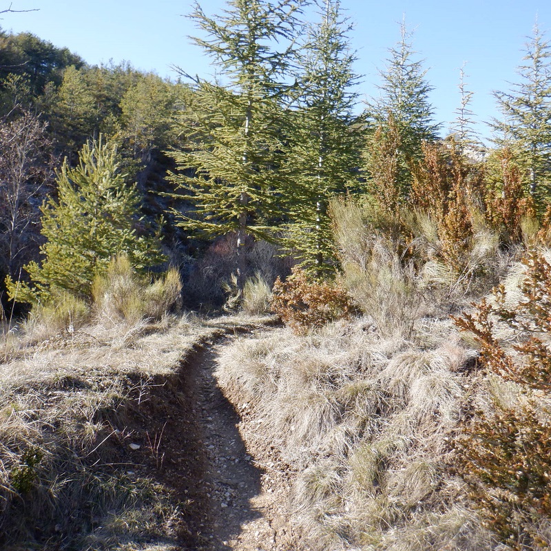
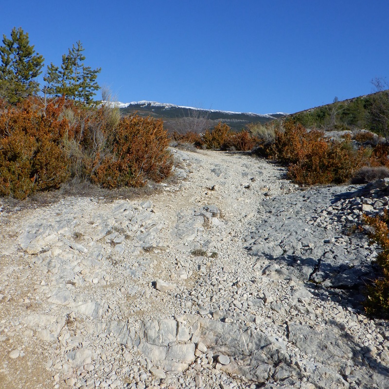
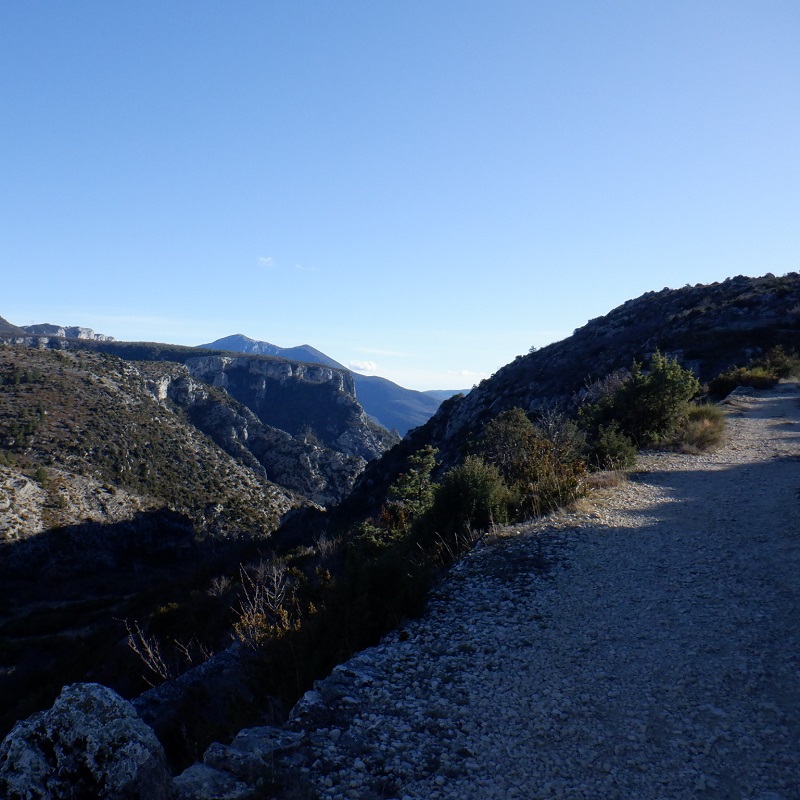
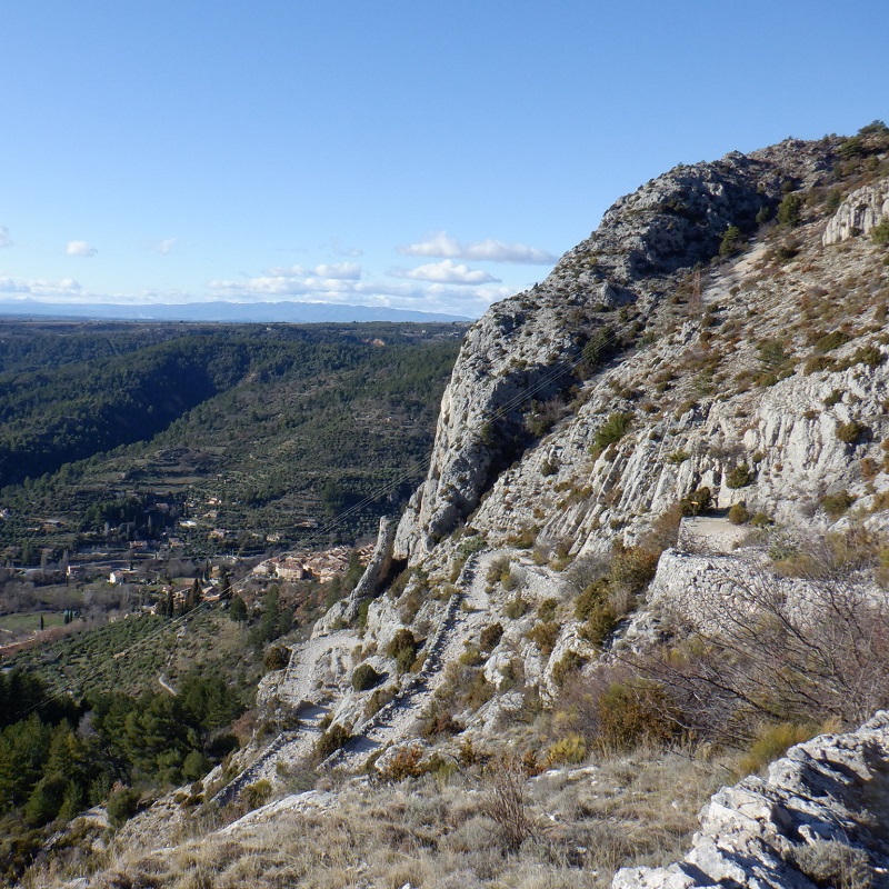
The ideal discovery course for runners who wish to discover the beauty of the terrain of our village of Moustiers-Sainte-Marie! A very playful itinerary, formed by a long climb at the beginning, a magnificent descent at the end (punctuated by a dozen turns, some of which offer splendid panoramas on the lake of Sainte-Croix!), and a variety of "relaunchings" between the two...
To know more ➕...
To add it to your sports watch or GPS device, download the GPX track below.
If you do not have a connected device to guide you on the hiking routes,
don't hesitate to ask the Tourist Office team for advice!

Want to be guided by your smartphone?
► Download the GPX track of the route and rely on the free IGNrando app !
![]()
" A marking error, a defective sign, a pollution problem, a need for security, a conflict with a landowner or other practitioners..." →
Suricate (website & smartphone app), report any potential problems you encounter on your hiking routes!