La Chaîne Trail

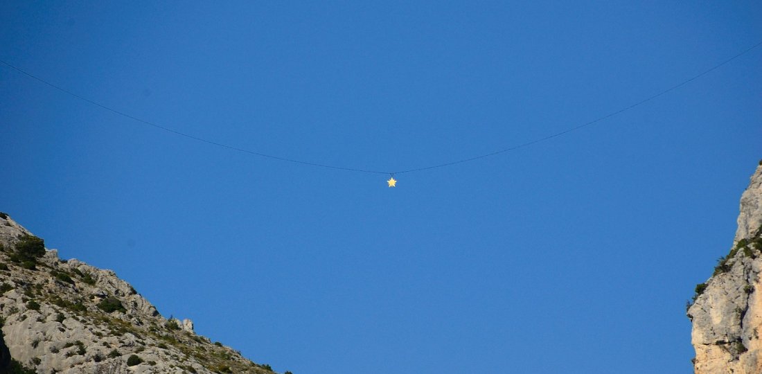
Le Sentier de la Chaîne : une courte et exigeante randonnée depuis le centre-bourg de Moustiers qui vous donnera l'opportunité d'aller toucher la chaîne de la légendaire étoile de Moustiers !

⚠️Beware : the trail is dangerous and not recommended for young children !
If on the trail, they are under their parents entire responsibility. The tourist office of Moustiers-Sainte-Marie disclaims all responsability in case of an accident.

► Download the descriptive sheet

A short hike (not recommended for children) to discover Notre-Dame’s ravine and reach the legendary chain of Moustiers-Sainte-Marie !


La balise située à quelques mètres seulement de la chaîne de l'étoile légendaire de Moustiers !

From the Tourist Office, head towards Moustiers Parking Haut. From the upper level of the parking, just above the cemetery, take the ascent to the Chemin de Courchon (old Roman road). After ~1.50 km of walking and a succession of 3 small sharp bends, follow the sign "Sentier de la Chaîne". From this yellow sign, "La Chaîne" of the legendary star of Moustiers (symbol of our village!) will present itself to the hikers after a little more than 600 meters of distance. If you are very careful, it is even possible to touch the chain!

Then retrace your steps ~200m to turn left towards a small vertical passage (easy level). Ignore all the departures on your left [⚠️ Do not venture into the Ravin de Notre-Dame: risk of landslides, it is dangerous and has been dismantled!] to aim for the indication of the "Pierrefeu" locality.
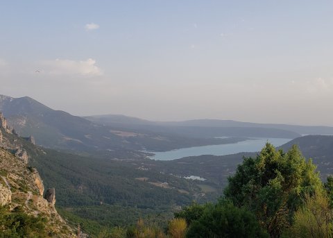
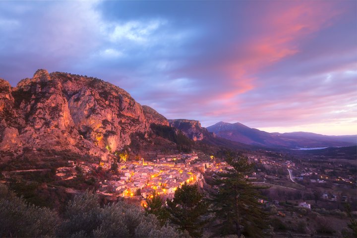
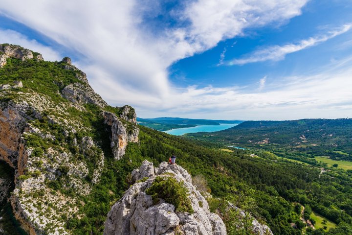
1.2 km further on, turn right to return to the historic centre of the village by descending the magnificent "chemin de Courchon"; which will offer hikers a superb view of a large part of Sainte-Croix lake and of part of our village of Moustiers.

 Crédit photo principale : ©AD04-Philippe Murtas


To know more

Download the GPX trace to ad dit to your sports watch or your GPS device.
If you do not own one of these device, you can find help on Chemins des Parcs app (an IGN map covers the all Verdon Parc area !) and Rando Alpes de Haute-Provence app.
You can also buy an IGN Map at our Tourist office or online.


Suricate : tous sentinelle des sports de nature

"A marking error, a damaged sign, a pollution problem, a need for increased safty, a conflict with an landowner or other user...".
→ report all possible issues you may encounter during your hikes on Suricate (website & smartphone app)


Vous aimerez aussi...

Around the village through Les Claux

This short hike accessible to all: the ideal panoramic circuit to discover all the beauty of the village of Moustiers-Sainte-Marie!

Around the village through Les Claux
Une partie du superbe point de vue offert à mi-chemin par le belvédère de Tréguier ! (©AD04-Teddy Verneuil)

Tréguier’s botanical trail

A round-trip walk along a botanical path accessible to all and offering a superb view halfway over Lake Sainte-Croix and a small tributary of the Verdon!

Tréguier’s botanical trail