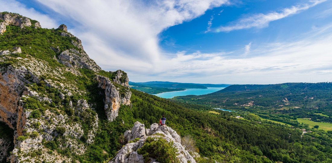
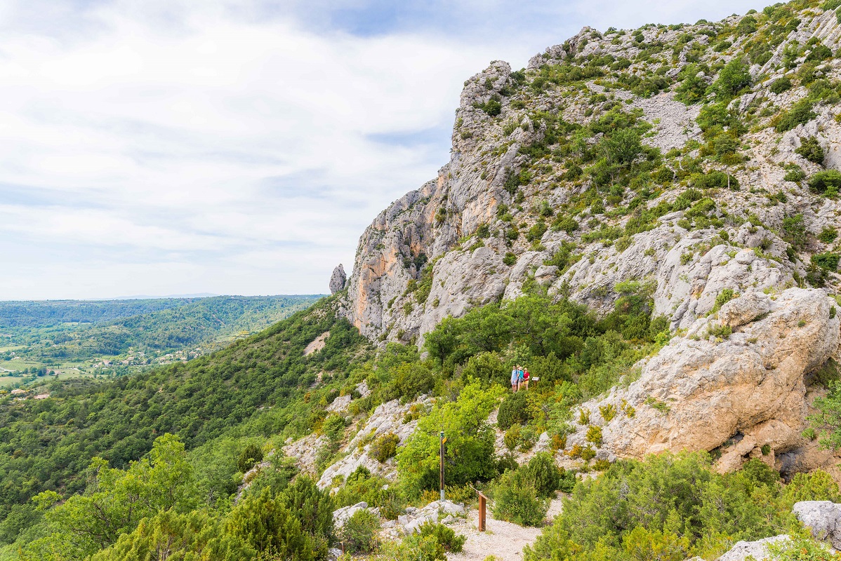
This back and forth botanical trail will guide you until the Tréguier’s Belvedere, a beautifulpoint of view on the Sainte-Croix’s Lake.
Crédit photos : ©AD04-Teddy Verneuil
From Moustiers-Sainte-Marie’s "Centre Historique" car parks, follow « Bélvédère de Tréguier » panels.
From this point, you will walk back and forth, following 20 educational panels about local fauna and flora.
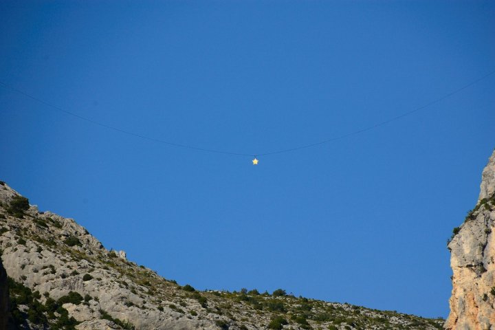
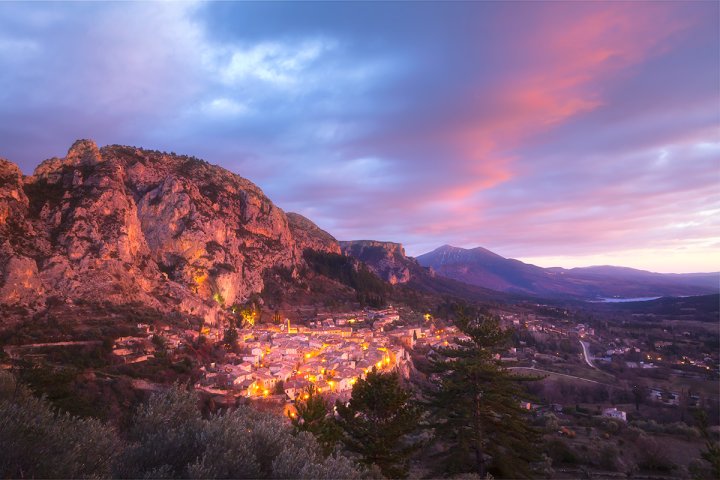
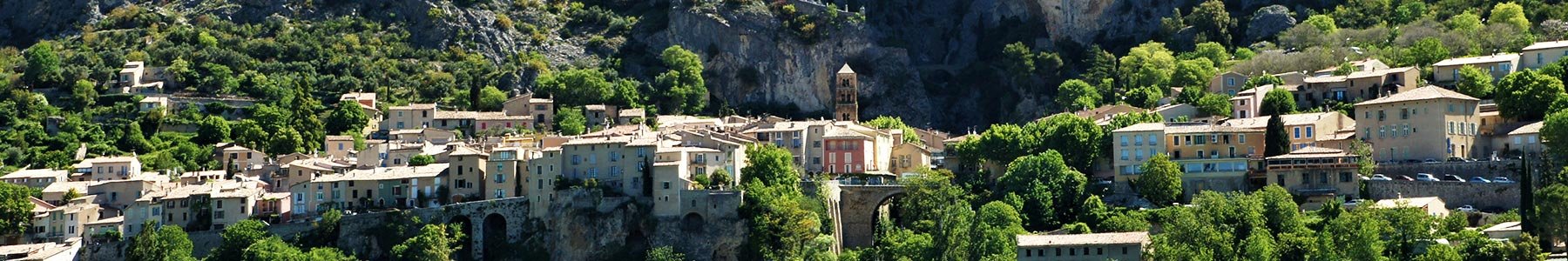
Throughout this short family hike, you will see Moustiers’s restanques and olive groves (an important culture of the village). At the end of the trail, you will have to go up a rock to enjoy a beautiful view point : Sainte-Croix’s lake on your right and Angouire’s canyon.
To know more :