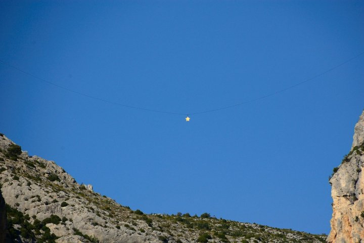
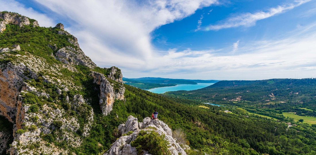
A back and forth botanical trail with educational panels accessible to all. The trail ends with a beautiful view of Sainte-Croix’s lake and Anguire’s canyon !
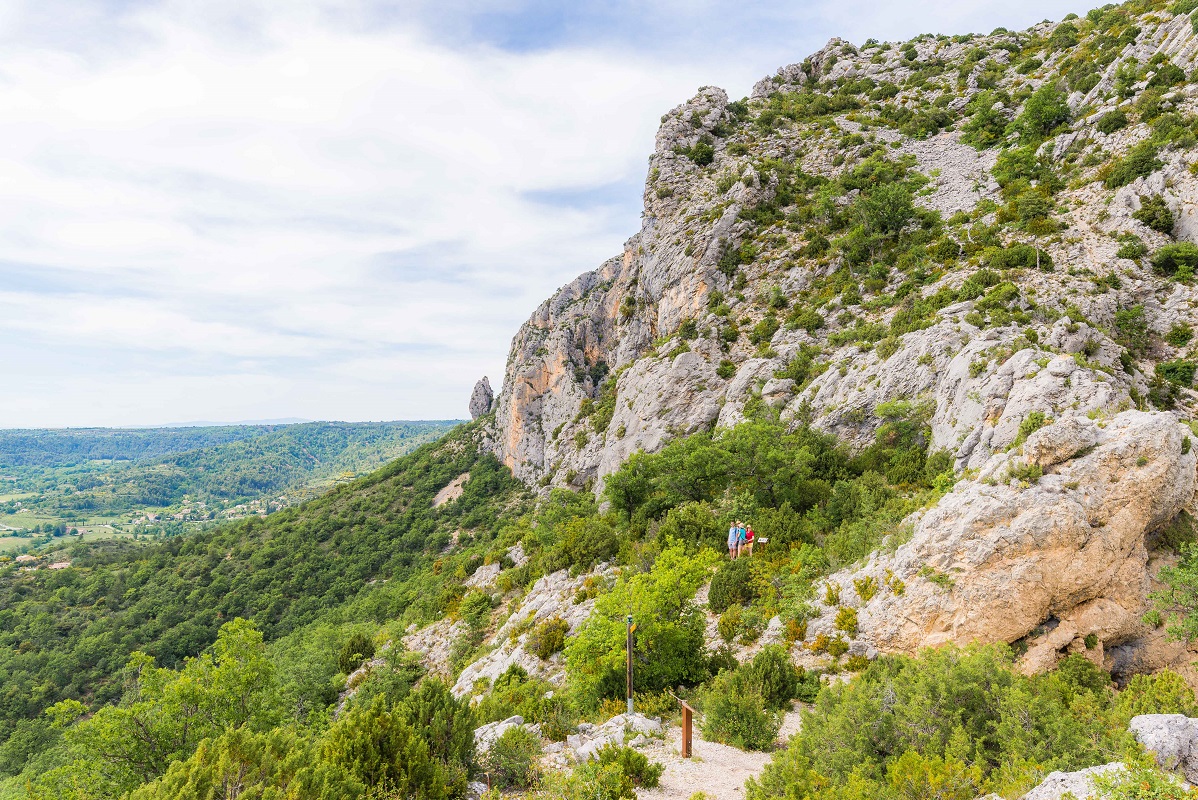
From Moustiers-Sainte-Marie’s cemetery parking lot, follow « Bélvédère de Tréguier ». From this point, you will walk back and forth, following 20 educational panels about local fauna and flora.
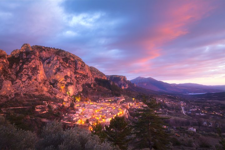
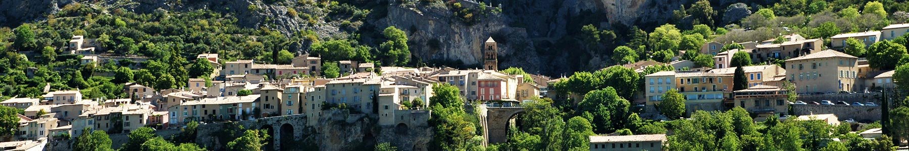
Throughout this short family hike, you will see Moustiers’s restanques and olive groves (an important culture of the village). At the end of the trail, you will have to go up a rock to enjoy a beautiful view point : Sainte-Croix’s lake on your right and Angouire’s canyon.
Crédit photos : ©AD04-Teddy Verneuil
To know more ➕...
Download the GPX trace to ad dit to your sports watch or your GPS device.
If you do not own one of these device, you can find help on Chemins des Parcs app (an IGN map covers the all Verdon Parc area !) and Rando Alpes de Haute-Provence app. You can also buy an IGN Map at our Tourist office or online.

![]()
« a wrong or damaged signspoting, a pollution problem, a need to secure a site, a conflict with a land owner… » you can report everything in Suricate (website and mobile application) !