Plein Voir Trail Running

La crête de l'Issioule et sa vue à couper le souffle sur l'embouchure des gorges du Verdon, le pont du Galetas, le lac de Sainte-Croix et le plateau de Valensole !

A very demanding itinerary, both physically and because of the technical nature of certain sections.
It is intended for seasoned hikers (about 18 km for 1400 m of D+!)

From the round about of La Maison du Parc Naturel Régional du Verdon, go up towards the passes of Âne and Plein Voir. Go to the viewpoints of the Issioule crest before going down towards Saint-Maurin and the Bois de Félines. Then go up to the col de l'Âne.
Descent of 3,5 kilometers rather steep (on the same path as the first one) to regain the starting point.

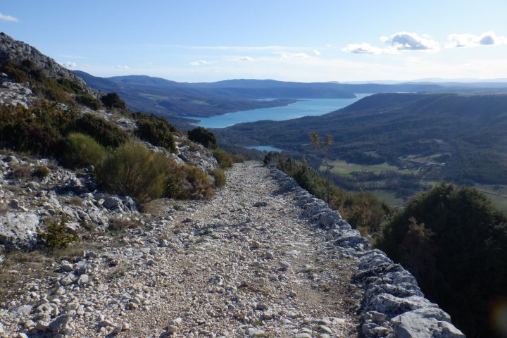
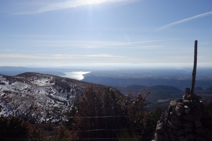
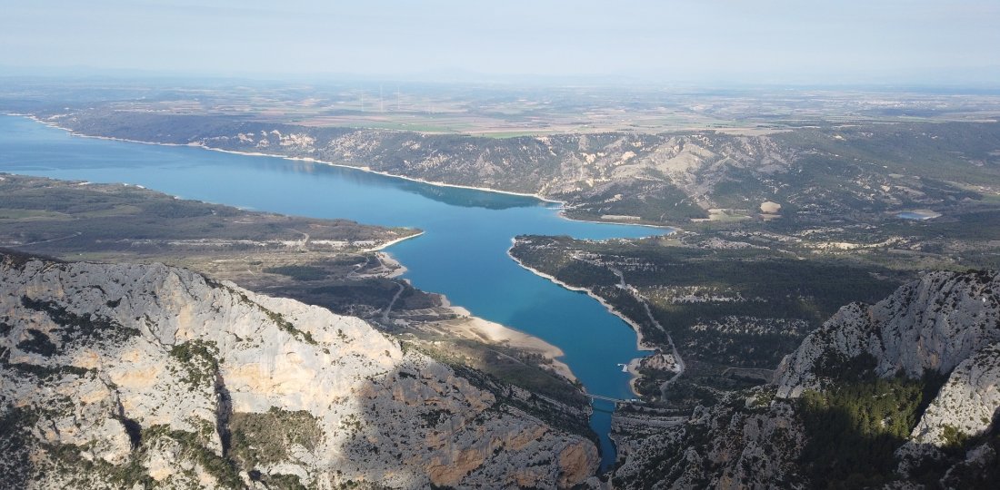
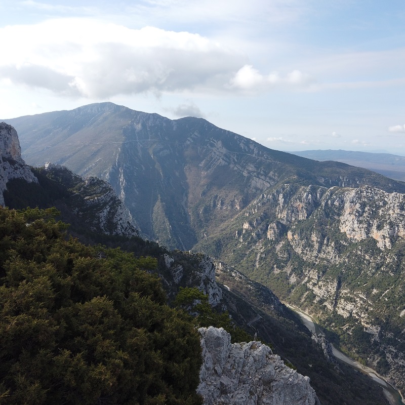
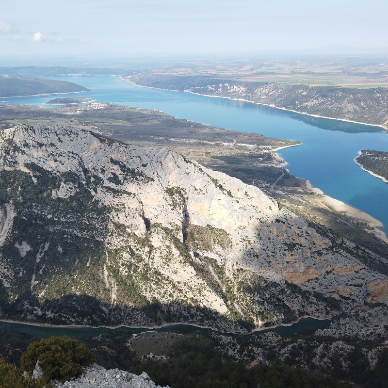
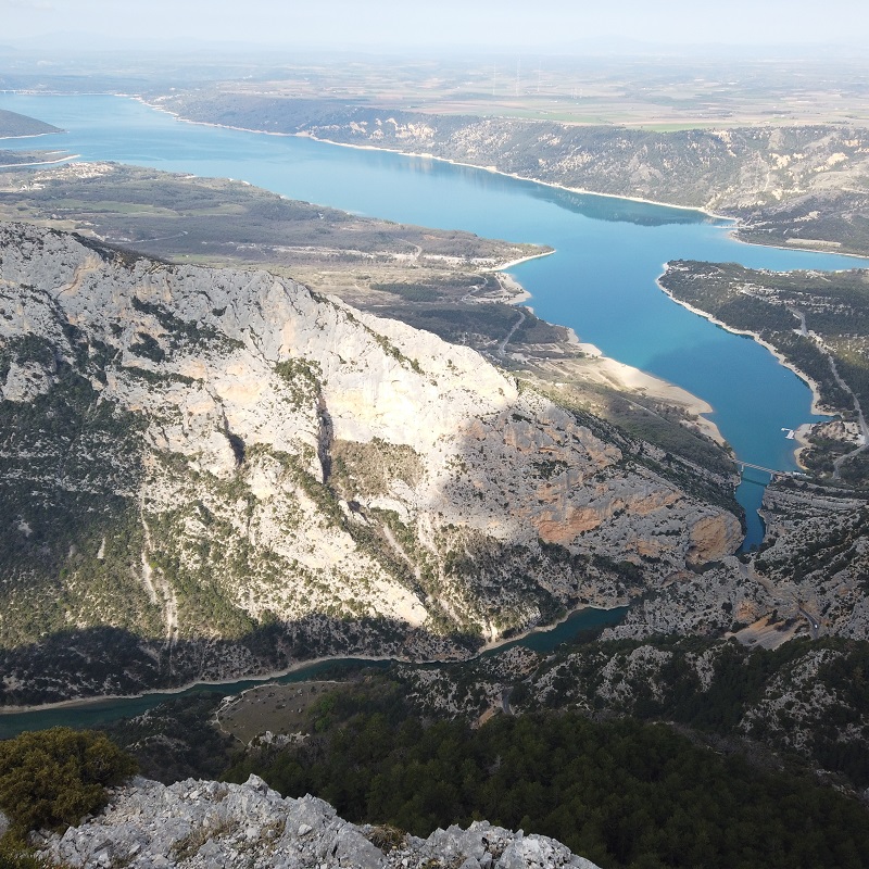
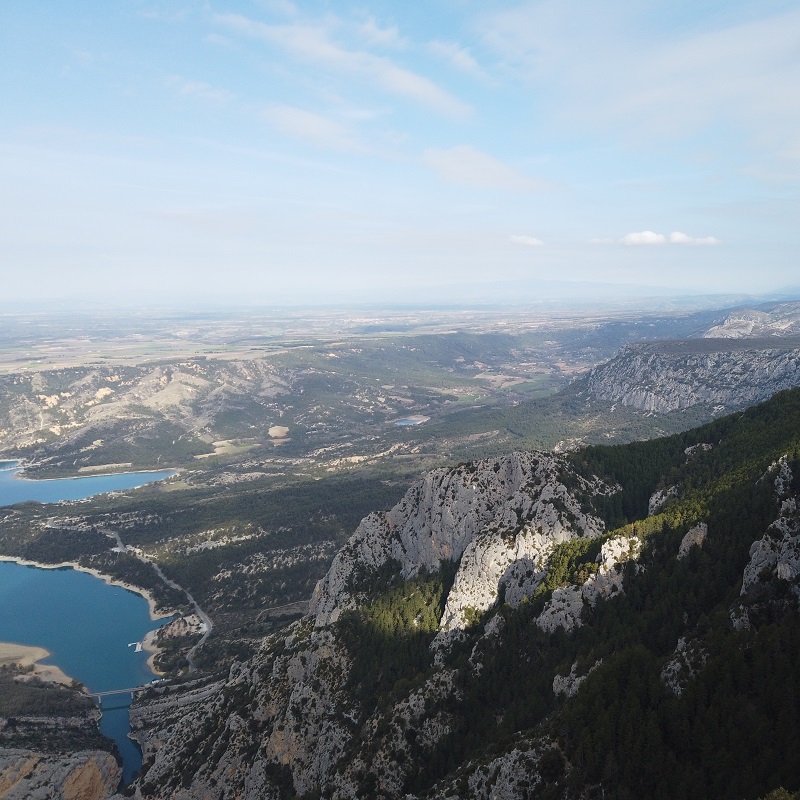
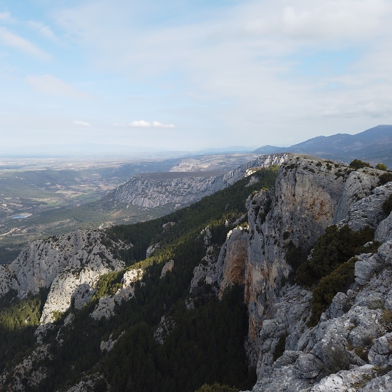
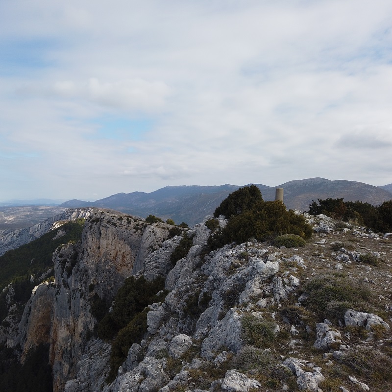
Although the highest point of this outing is not in the high mountains, expect a real "mountain trail" type of itinerary with: steep segments
(both up and down) + roots and various rocky portions, emblematic of the Verdon area, which will even add to the difficulty of the whole...


To know more ➕...

To add it to your sports watch or GPS device, download the GPX track below.
If you do not have a connected device to guide you on the hiking routes,
don't hesitate to ask the Tourist Office team for advice!


Suricate : tous sentinelle des sports de nature

" A marking error, a defective sign, a pollution problem, a need for security, a conflict with a landowner or other practitioners..."
→ Suricate (website & smartphone app), report any potential problems you encounter on your hiking routes!


Vous aimerez aussi...

Le chemin de Courchon (ou ancienne voie romaine) sera la cerise sur le gâteau de ce superbe parcours découverte !

Voie Romaine & Vénascle Trail Running

The ideal discovery course for runners who wish to discover the beauty of the terrain of our village of Moustiers-Sainte-Marie! A very playful itinerary, formed by a long climb at the beginning, a magnificent descent at the end (punctuated by a dozen turns, some of which offer splendid panoramas on the lake of Sainte-Croix!), and a variety of "relaunchings" between the two...

Voie Romaine & Vénascle Trail Running
Dans les derniers kilomètres de la montée, lorsque le sommet du Pavillon est en approche, la vue sur le lac de Sainte-Croix se dégage beaucoup plus nettement...

Le Pavillon Trail Running

An extremely playful itinerary up to the summit of the "Pavillon", the southern highest point of the Montdenier massif.
A breathtaking panorama at its highest point (with, in particular, the lake of Sainte-Croix and the plateau of Valensole on one side, and the mount Chiran and the Mourre de Chanier on the other...) and a magnificent descent to conclude, as a "cherry on the cake", by the ancient Roman way of the Courchon path !

Le Pavillon Trail Running